
![]()


 To be continued...
![]()


 To be continued...


 To be continued...
![]()


 To be continued...
![]()


![]()

 To be continued...
![]()


 To be continued...
![]()
 To be continued...
![]()
 To be continued...
![]()
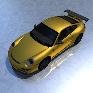
SAFIR is a fully
functional electro-optic simulator that has been developed for civilian and
defence applications. Its main capability is to produce photo-realistic rendering of 3D
scenes.
SAFIR can produce high
fidelity synthetic imagery for any land, air and naval scenarios. As a spectral
simulator, this software is able to provide, accurate synthetic images/videos,
for many EO sensors between 0.3 and 25 micron (airborne or satellite
based, inband, multi-spectral, hyper-spectral, laser, flash imagery…).
Based on an effective and radiometrically accurate spectral ray-tracer, this physically-based synthetic scene
generator calculates the propagation of
electromagnetic waves in a digital model, meant to represent as faithfully as
possible the reality of a given scene.
A thorough knowledge of the 3D geometry, including buildings, objects,
vehicles, and targets, as well as the characteristics and physical properties
of the materials, is required.
SAFIR makes an
extensive use of physical models (material properties, thermal activity,
radiometry, atmospheric models, etc), to achieve the best possible level of
realism. This approach guarantees the physical validity of this work and effective error controls.
SAFIR’s objective
is to support the EO community. Its innovative architecture has been developed
with interoperability in mind. Its modularity permits to exploit either its
own models or other reference software.
Also, many interactive and intuitive tools dedicated to GIS and 3D data management, materials editing, scenarios and image analysis, are associated with SAFIR.
To request further explanation or a documentation, please feel free to contact dumont_reynald at yahoo.fr